

Local drone surveys in Thurrock, planned around the site and the airspace.
Thurrock is mile after mile of Thames frontage and very little of it is ordinary. The borough runs from Purfleet-on-Thames in the west, past the Dartford Crossing and Lakeside, through Grays and Tilbury, out to DP World London Gateway and the Stanford-le-Hope marshes. In between are hundreds of acres of distribution shed, worked quarry, tank farm and made ground. It is the kind of estate where a single roof runs to several acres and a land parcel changes shape between one planning stage and the next. Almost everything we are asked for in Thurrock is data rather than pictures: measured roof plans, orthomosaics of a yard, progress records on a shed going up, extent records on ground nobody can walk.
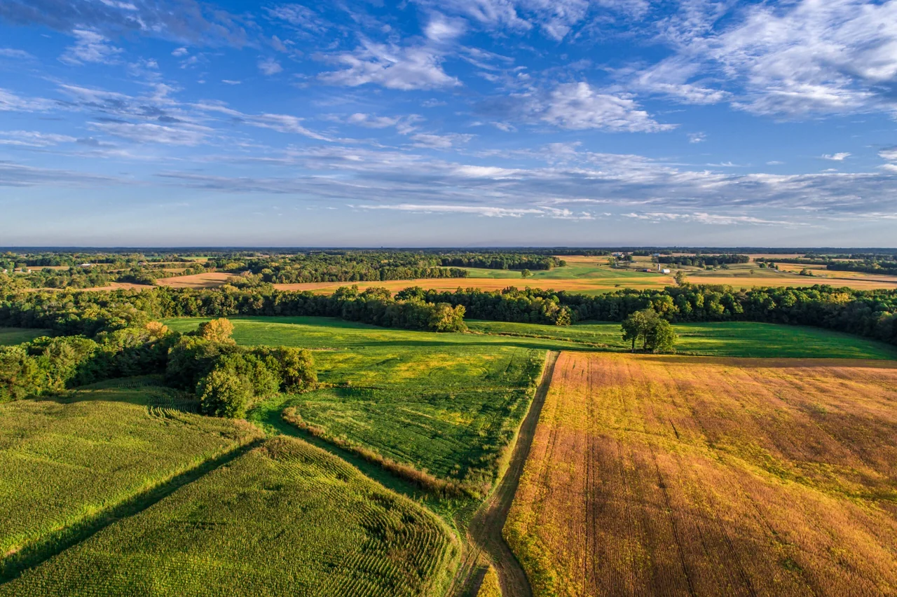
The buildings and sites we survey in Thurrock
Thurrock's building stock is unusually polarised. Commercially it is single-storey steel-portal distribution units with vast profiled-metal and single-ply membrane roofs — Lakeside and West Thurrock, Purfleet Industrial Park, and the Tilbury and London Gateway estates. Residentially, Chafford Hundred is almost entirely late-1980s and 1990s estate housing built out over the worked chalk quarries; Aveley and South Ockendon carry post-war overspill estates in low-pitched concrete tile; Grays holds the Victorian and Edwardian terraces. The villages are a third category again — Orsett, Horndon-on-the-Hill and the Bata estate at East Tilbury are conservation-area ground with listed fabric that needs handling carefully.

What we get asked for in Thurrock
Surveys we fly in Thurrock
Every survey is scoped to your project before we fly — you receive the outputs that are actually useful to you, and a clear, no-obligation quote first.




Drone surveys in Thurrock — frequently asked questions
Do you cover the whole borough or just Grays?
The whole borough — and Grays and Tilbury each have a dedicated page of their own. This page looks after the rest: Purfleet-on-Thames in RM19, Aveley and South Ockendon in RM15, and Stanford-le-Hope and Corringham in SS17, along with the estates and parcels between them. Because we are only up the M25 at North Weald, a Thurrock site is a day trip rather than a mobilisation, and multiple parcels can often be flown in one visit.
Can you fly over an operational logistics estate or port site?
We assess each Thurrock site individually before confirming a drone survey. We review access, people and activity nearby, current airspace information and the operating limits that apply to the proposed work. Any required permissions must be obtained, and suitable weather is needed on the day. We confirm feasibility and the scope we can capture before booking; if the flight cannot be carried out safely and lawfully, we discuss an alternative or decline the work.
How large a site can you cover in one visit?
It depends on the site and the output. A single warehouse roof or a small parcel is usually straightforward in one short visit; a multi-hectare quarry or estate flown for an orthomosaic takes longer, because coverage and overlap drive the flight plan rather than the boundary does. We scope it at the briefing stage and are clear about what one visit will and will not produce.
Can you survey a warehouse roof while the unit is trading?
Usually, yes — that is one of the main reasons operators here use us. Nobody goes on the roof, there is no scaffolding and no mobile access platform blocking a service yard. We agree a take-off and landing point away from vehicle movements, keep the operator on the ground, and work around loading patterns. The result is high-resolution roof imagery and a plain-English report you can act on.
We also cover, near Thurrock
Based in North Weald, Epping and covering London, Essex, Hertfordshire, Kent and the wider South East. If your site is not listed, check we cover it →
