
The clearest view of your property — captured from above.
Roof, land, topographic and building surveys across London, Essex and the South East — flown safely and legally by a professional drone operator, with minimal disruption and no scaffolding.
 CAA-Compliant Flights
 CSCS Certified
An elevated, complete picture of your site — captured from the air.
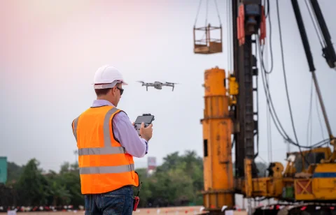
Using a professional survey-grade drone, London Drone Surveys captures high-resolution imagery and survey data across construction sites, commercial property, land and infrastructure — from a single inspection to progress monitoring across the life of a build.
We work across London, Essex, Hertfordshire, Kent and the wider South East, giving you usable data from angles the ground cannot reach — without putting people at height or halting your works.
Survey services
Experience precision and efficiency across construction, infrastructure and environmental monitoring — each survey tailored to the outcomes you need. Every survey we fly sits under one of five headings; if you are not sure which you need, start with drone surveying — it explains what each one answers and who asks for it.




Most enquiries come from one of four places: someone chasing a leak who needs a roof inspected without scaffolding; a developer who needs a whole parcel mapped from the air; an engineer who needs contours and levels to scale; or a managing agent who needs every elevation of a building photographed in detail. If yours is none of those, get in touch → and describe it.
Based in North Weald, Epping, covering London, Essex, Hertfordshire, Kent and the wider South East. Check we cover your site →

Three steps, from enquiry to insight.
Initial Enquiry & Quote
We talk through what you need the survey to achieve — the site, the questions you want answered and the outputs that matter — then check the location and airspace and send a tailored quote on scope, with no obligation.
Survey Day
Our operator attends with a professional survey-grade drone and captures the data methodically across the whole site. Flying is quick and low-impact — no scaffolding, no cherry pickers, and usually no need to stop your works.
Analysis & Evaluation
We process the raw capture into usable outputs — imagery, video, maps or a written report — then walk you through the findings so you can move straight to your next decision.
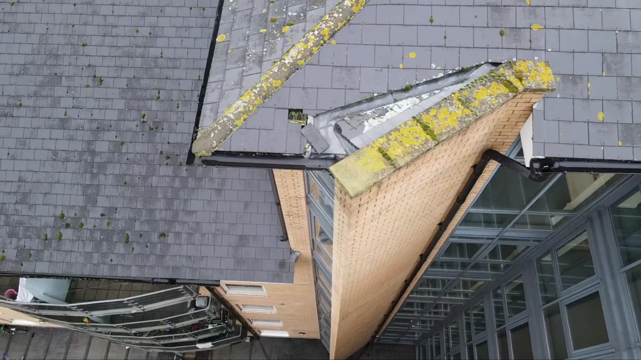
Safer, faster and more precise than traditional inspection.
By removing the need for physical access to hazardous or hard-to-reach areas, we minimise safety risks and operational disruption — while our comprehensive reporting stays clear, concise and easy to act on.

Request a survey quote.
Tell us about your property or project and we'll get back to you with a tailored quote. Prefer to talk? Call us directly — we're happy to help.