

Local drone surveys in Canvey Island, planned around the site and the airspace.
Canvey Island is the one place in this corner of Essex where levels matter more than elevations. The island was reclaimed from marsh, parts of it lie below the high-tide level of the Thames, and it is held by a continuous ring of tidal defence rebuilt after the 1953 flood. That single fact shapes almost every brief here — developers, drainage engineers and insurers want to know how the ground actually sits, where water will run, and what a finished level will be relative to the sea wall. Add two large fuel and gas terminals on the western shore and a road network with very few ways on and off, and Canvey becomes a place where an aerial surface model genuinely earns its keep.
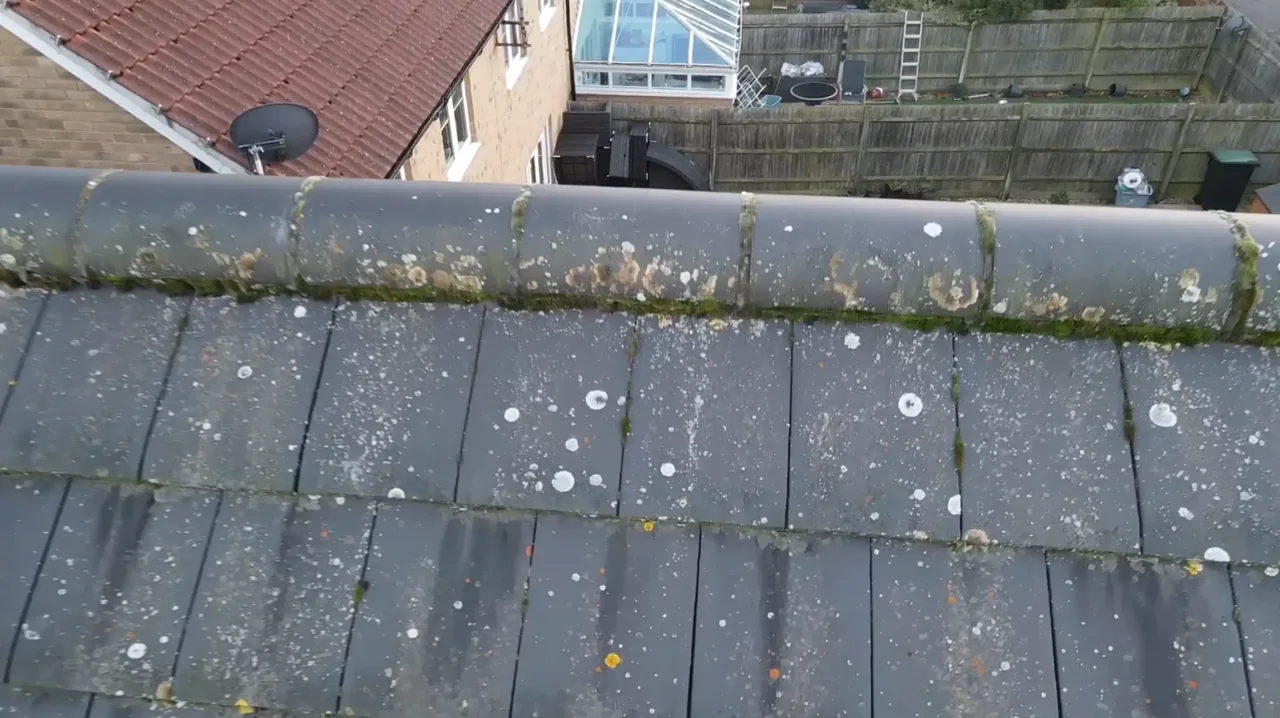
The buildings and sites we survey in Canvey Island
Canvey's housing is unusually low and unusually shallow-roofed. Large parts of the island began as interwar and post-war plotland — single-storey bungalows and chalets on generous plots, many since extended or rebuilt, with shallow pitches, flat roofs, felt and single-ply coverings and very low eaves. Newlands, Winter Gardens and Leigh Beck carry a great deal of it, and Thorney Bay adds park-home stock. Alongside that sit later estate housing, a compact commercial centre around Furtherwick Road, and the industrial west end at Thames Road and Holehaven Road, where the Calor gas and Oikos petroleum terminals dominate the shoreline.

What we get asked for in Canvey Island
Surveys we fly in Canvey Island
Every survey is scoped to your project before we fly — you receive the outputs that are actually useful to you, and a clear, no-obligation quote first.




Drone surveys in Canvey Island — frequently asked questions
Why would I need a topographic survey rather than a land survey on Canvey?
Because on Canvey the question is almost always about height, not extent. A land survey maps features, boundaries and layout; a topographic survey delivers contours, levels and spot heights to scale, which is what a drainage engineer or a planning case on a low-lying site actually needs. The accuracy achievable depends on the site, the flight plan and what is agreed at briefing — we are clear about that up front.
Can you survey near the Calor and Oikos terminals?
Those are controlled private industrial sites, so nothing happens there without the operator's involvement — and that is a separate question from whether the airspace is clear. For work on neighbouring land we plan the flight, the take-off point and the risk assessment around them rather than assuming access. If your site adjoins either terminal, tell us early and we will look at the constraints before quoting.
Can you survey a bungalow roof on a narrow Canvey road?
Yes, and Canvey's low bungalow roofs are a good case for it — felt and single-ply failures, ponding and blocked outlets simply are not visible from the pavement. We normally launch from the rear garden or a driveway rather than the road, keep the operator on the ground, and hold a clear working area away from people not involved in the job. No ladders, no scaffolding, nobody on the roof.
How long does it take you to get to Canvey?
Canvey is the far end of our patch — out on the A127 and down the A130 over Canvey Way from our North Weald base. It is still comfortably a single-visit job for us, which matters on an island with limited access routes — we plan arrival and the flight window together rather than turning up and hoping. Imagery and the written summary usually follow within a few days.
We also cover, near Canvey Island
Based in North Weald, Epping and covering London, Essex, Hertfordshire, Kent and the wider South East. If your site is not listed, check we cover it →
