

Local drone surveys in Upminster, planned around the site and the airspace.
Upminster is where London stops. The District line terminates here, and within a mile of the station the streets give way to Green Belt farmland running east toward North Ockendon, Bulphan and the Thames-side levels. That produces a survey mix you do not get further into Havering: as much land, boundary and acreage work as roof work. We get asked to map paddocks and grazing land, to record the extent of a farm holding ahead of a sale, and to survey the plots along Hall Lane and Corbets Tey Road where large houses sit on parcels big enough that the owner is not entirely sure where the boundary runs. Then there is the historic fabric — the Georgian smock mill, the medieval tithe barn — which needs a different kind of care again.
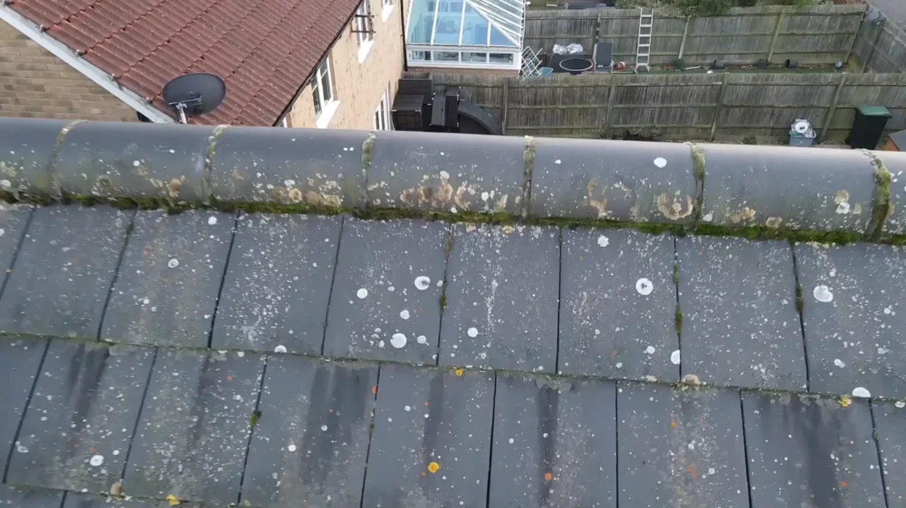
The buildings and sites we survey in Upminster
Upminster's suburban core is largely interwar, built out after direct electric services reached the station in 1932: steep clay-tile semis and detached houses with hipped roofs, bay fronts and substantial chimney stacks. Hall Lane, Sunnyside and the Corbets Tey Road approaches carry much larger detached properties on deep plots. Corbets Tey, one of the medieval settlements that formed Upminster, was designated a conservation area in 1990 and retains weatherboarded cottages; Cranham to the east is a separate conservation area. The listed Upminster Windmill — a smock mill of the early 1800s — and the medieval tithe barn beside the golf club are the two heritage structures most often asked about.

What we get asked for in Upminster
Surveys we fly in Upminster
Every survey is scoped to your project before we fly — you receive the outputs that are actually useful to you, and a clear, no-obligation quote first.




Drone surveys in Upminster — frequently asked questions
Damyns Hall Aerodrome is right next to us — can you still fly in Upminster?
The answer depends on the exact address in Upminster, the current airspace restrictions and the proposed flight. Proximity to an airport or a place name alone does not establish whether a flight is possible. We review access, people and activity nearby, current airspace information and the operating limits that apply to the proposed work. Any required permissions must be obtained, and suitable weather is needed on the day. We confirm feasibility and the scope we can capture before booking; if the flight cannot be carried out safely and lawfully, we discuss an alternative or decline the work.
Can you map a paddock or a field rather than a building?
Yes — that is a land survey, and around Upminster it is a large part of what we do. We fly the parcel and deliver stitched, scaled top-down imagery you can use to measure approximate area and extent, plus an annotated site plan and a written summary. If you need engineering-grade contours, levels and spot heights instead, that is a topographic survey, which we offer separately. We will tell you which one your purpose actually needs.
How accurate is a drone land survey of a Green Belt parcel?
Accuracy depends on the site, the flight plan and the detail level agreed at briefing, so we do not quote a single figure. What we will do is be clear about what the survey will and will not show. Aerial mapping is excellent for extent, layout, feature positions and approximate area. It is not a substitute for a legal boundary determination, and we say so before you book rather than afterwards.
How far is Upminster from your base, and does the Green Belt make it easier?
For a site in or beside managed open space in Upminster, we check the relevant access rules and restrictions as well as the airspace. We do not assume that a park, forest or reserve is available for drone operations. We review access, people and activity nearby, current airspace information and the operating limits that apply to the proposed work. Any required permissions must be obtained, and suitable weather is needed on the day. We confirm feasibility and the scope we can capture before booking; if the flight cannot be carried out safely and lawfully, we discuss an alternative or decline the work.
We also cover, near Upminster
Based in North Weald, Epping and covering London, Essex, Hertfordshire, Kent and the wider South East. If your site is not listed, check we cover it →
