

Local drone surveys in Basildon, planned around the site and the airspace.
Basildon was designated a new town in 1949 and built out from 1951 across the older settlements of Laindon, Pitsea and Vange — which means most of the town is one of two things: Development Corporation housing, or an industrial estate laid out to serve it. Cranes Farm Road, Pipps Hill, Burnt Mills and Christopher Martin Road hold a large share of the commercial building stock, and the long-established tractor plant on Cranes Farm Road has been part of that landscape for decades. Buildings of that generation are now exactly the age where cladding fixings, parapets, sealant lines and rainwater goods start letting go — and high-level facade evidence is the bulk of what we are asked for in Basildon.
The buildings and sites we survey in Basildon
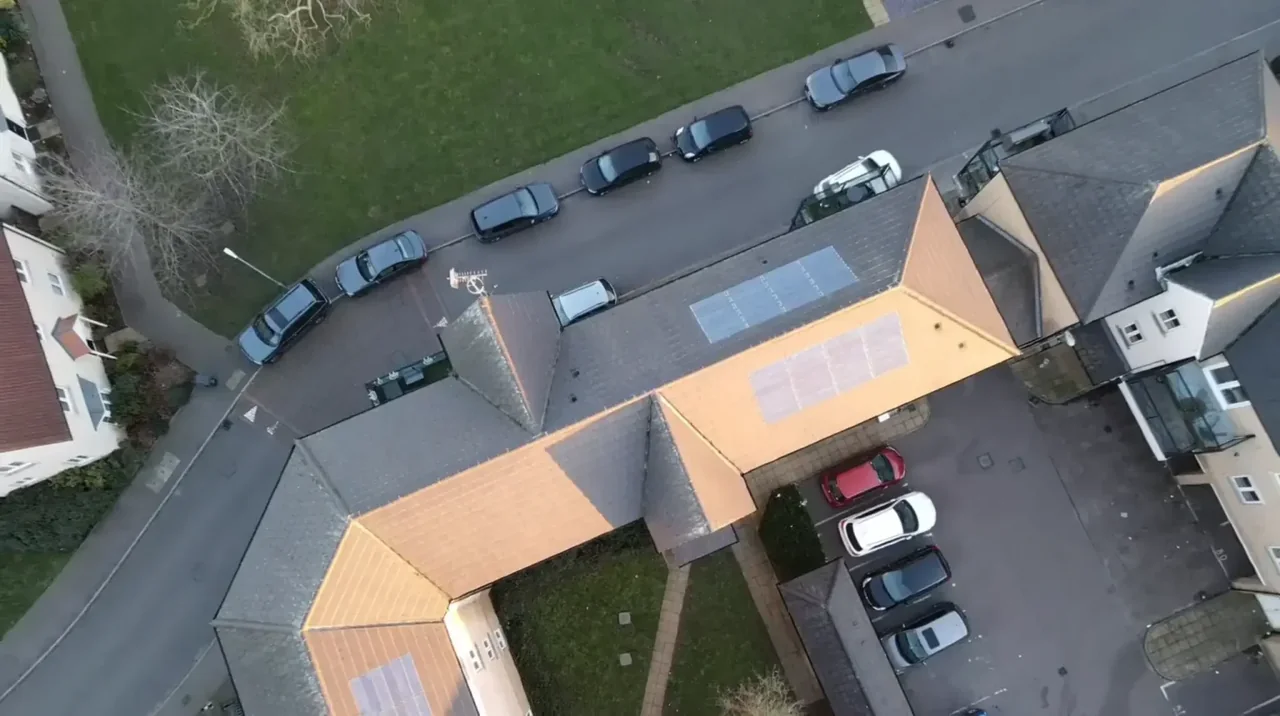
Basildon's commercial stock is dominated by 1960s to 1980s steel-portal industrial units with profiled sheet or cement-based roofing and long unbroken elevations, now sitting alongside newer high-bay warehousing on the same estates. In the town centre the Development Corporation's civic set survives around East Square and the market square, including Brooke House, the listed 1960s tower block raised on distinctive angled concrete piers. Residential Basildon is Corporation housing: low-pitched interlocking concrete tile, flat-roofed terrace rows and rendered or boarded panels across Fryerns, Vange, Craylands and Laindon, much of it now in mixed private and social ownership.

What we get asked for in Basildon
Surveys we fly in Basildon
Every survey is scoped to your project before we fly — you receive the outputs that are actually useful to you, and a clear, no-obligation quote first.




Drone surveys in Basildon — frequently asked questions
Can you inspect a warehouse elevation while the unit is trading?
Usually, yes. That is the point of doing it from the air — no scaffolding down the side of the building, no cherry picker parked in the service yard and nobody working at height. We agree a take-off and landing point clear of vehicle movements, keep the operator on the ground and work around your loading pattern. On a single Basildon unit that is normally one short visit.
How close is Basildon to London Southend Airport's restricted airspace?
The answer depends on the exact address in Basildon, the current airspace restrictions and the proposed flight. Proximity to an airport or a place name alone does not establish whether a flight is possible. We review access, people and activity nearby, current airspace information and the operating limits that apply to the proposed work. Any required permissions must be obtained, and suitable weather is needed on the day. We confirm feasibility and the scope we can capture before booking; if the flight cannot be carried out safely and lawfully, we discuss an alternative or decline the work.
Do you inspect older industrial roofs that may contain asbestos cement?
We can photograph and map the condition of any roof from the air, and on a fragile roof that is a real advantage — nobody has to walk it. What we do not do is identify or sample asbestos-containing materials; that needs a qualified asbestos surveyor. Our imagery and annotated defect maps are what they and your building surveyor work from.
Do you cover Laindon, Pitsea and Vange as well as the town centre?
Yes — the whole of SS13 to SS16, including Laindon, Pitsea, Vange, Fryerns, Craylands and Langdon Hills. We are based at North Weald near Epping, so Basildon is a short run down the M25 and along the A127. Several addresses in the same postcode district can often be flown on one visit, which usually makes better sense than booking them separately.
We also cover, near Basildon
Based in North Weald, Epping and covering London, Essex, Hertfordshire, Kent and the wider South East. If your site is not listed, check we cover it →
