

Local drone surveys in Brentwood, planned around the site and the airspace.
Brentwood earns its living off the M25 and the A127, and most of the survey demand it generates is commercial rather than domestic. Warley Hill Business Park, Childerditch Industrial Park at Little Warley and the logistics floorspace out towards East Horndon all sit within our regular patch, alongside the Brentwood Enterprise Park works at junction 29. That means dilapidations evidence at lease end, cladding and parapet condition on 1960s to 1980s office stock, and profiled metal roof inspections on large-span units where nobody wants a man-safe system tested to find out. The town centre itself, with its narrow High Street frontages around Wilson's Corner and Hart Street, throws up a different job again: tight, overlooked buildings with no scaffold-free way to see the top.
The buildings and sites we survey in Brentwood
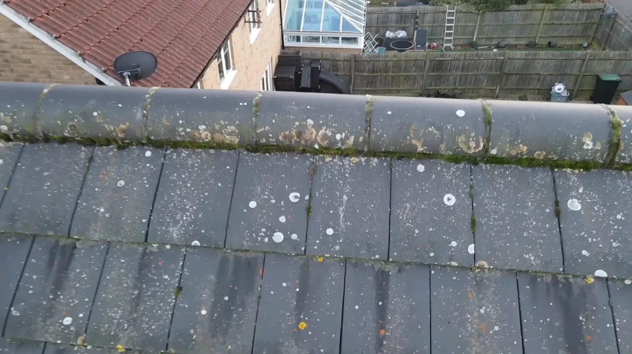
The borough absorbed Hutton, Shenfield, South Weald, Ingrave and the Warleys in 1934 and the building record shows it. Brentwood town centre keeps Victorian and Edwardian frontages around Crown Street, Hart Street and the High Street, largely slate and clay-tile with parapet gutters and flat felt or asphalt over the rear back-additions and shop extensions. Radiating out are 1930s bay-fronted semis and postwar estates on concrete tile. Commercially, the stock is 1960s to 1980s office blocks around Warley Hill and the ring road, often with flat roofs, curtain walling and later overlays, and large-span steel-portal industrial units at Childerditch and along the A127 running profiled metal sheeting and translucent rooflights.

What we get asked for in Brentwood
Surveys we fly in Brentwood
Every survey is scoped to your project before we fly — you receive the outputs that are actually useful to you, and a clear, no-obligation quote first.




Drone surveys in Brentwood — frequently asked questions
Can you survey an occupied office or warehouse without shutting the site down?
Usually yes. The flight itself takes far less time than the mobilisation would for scaffolding or a MEWP, and we work with our operator on the ground the whole time. What we do need is a launch and landing area that keeps the required separation from staff, visitors and neighbouring units, so we agree that in advance with your facilities contact rather than turning up and improvising.
How far is Brentwood from your base?
About eleven miles by road. We are based at North Weald near Epping and run down the A128 through Ongar and Kelvedon Hatch. That proximity matters most for weather-dependent jobs, because rescheduling a Brentwood flight for a better window costs nobody a wasted day.
Do you cover the industrial parks out towards East Horndon and Little Warley?
Yes. Childerditch Industrial Park, the A127 logistics floorspace and the Warley business stock are all within our normal working area. Large-span roofs are one of the clearest wins for aerial survey, because a single flight gives you the whole sheet layout, the rooflights, the gutter lines and the plant deck in one pass instead of a partial walked inspection.
Will you deliver something my building surveyor can actually use?
That is the intention. Alongside the imagery you get a plain-English written report and, where it helps, annotated defect maps tying each observation to a location on the roof or elevation. We are also clear about what a survey will not show — a drone reads surface condition and visible failure, it does not replace an opening-up inspection or a moisture survey.
We also cover, near Brentwood
Based in North Weald, Epping and covering London, Essex, Hertfordshire, Kent and the wider South East. If your site is not listed, check we cover it →
