

Local drone surveys in Shenfield, planned around the site and the airspace.
Shenfield work is almost entirely private residential, and it is dominated by one thing: large houses with complicated roofs behind long, gated drives and mature trees. Hutton Mount alone accounts for a steady share of our enquiries — substantial detached properties, many of them 1920s and 1930s, with steep pitches, multiple valleys, tall chimney stacks and leadwork that nobody has looked at closely since the last time a slate came off. Since the Elizabeth line made the station a terminus, transaction volumes have stayed high, and a good share of our Shenfield bookings are pre-purchase inspections ordered by buyers or their surveyors who cannot see the roof from anywhere on the ground.
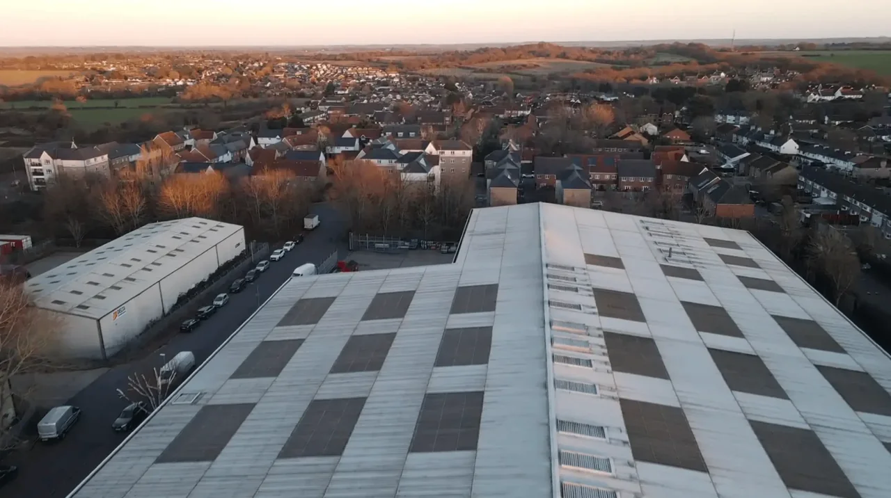
The buildings and sites we survey in Shenfield
The defining stock is the Hutton Mount private estate: large interwar detached houses, some in an Arts and Crafts idiom, with deep plots, steep clay-tile roofs, gables, dormers, deep valleys and substantial stacks. Around it sit 1930s bay-fronted semis along the Hutton Road and Chelmsford Road approaches, postwar and 1960s to 1970s detached infill, and more recent apartment schemes clustered near the station with flat membrane roofs. Hutton Village conservation area to the east holds older cottages and the parish church, while Shenfield Common frames the western edge with mature trees that regularly block any ground-level view of a roof slope.

What we get asked for in Shenfield
Surveys we fly in Shenfield
Every survey is scoped to your project before we fly — you receive the outputs that are actually useful to you, and a clear, no-obligation quote first.




Drone surveys in Shenfield — frequently asked questions
Can you fly on Hutton Mount, given the roads are private?
We assess a suitable take-off and landing position for the property in Shenfield, with the relevant landowner or site manager's agreement. Permission to use the ground does not by itself authorise a flight. We review access, people and activity nearby, current airspace information and the operating limits that apply to the proposed work. Any required permissions must be obtained, and suitable weather is needed on the day. We confirm feasibility and the scope we can capture before booking; if the flight cannot be carried out safely and lawfully, we discuss an alternative or decline the work.
Do you need to come inside the house or into the loft?
No. A roof survey is flown entirely from outside with our operator on the ground, so nobody needs to be home for the flight itself, though we do prefer someone available to point out the specific concern. If your issue is internal — a stain on a ceiling, damp in a bedroom — tell us where, and we will concentrate the imagery on the corresponding external area.
Is a drone survey enough for a pre-purchase decision in Shenfield?
It answers the roof question that a standard homebuyer report usually cannot, because on these houses the rear slopes, valleys and stack heads are simply not visible from ground level. What it does not do is replace the full survey — it reads visible surface condition, not what is happening in the timbers. Buyers here typically use it alongside their surveyor rather than instead of one.
How far is Shenfield from your base?
About twelve miles by road from North Weald near Epping, running down through Ongar and Brentwood. We fly this side of Essex constantly, which means we know the tree cover, the tight drives and the weather windows well enough to give you a realistic date rather than an optimistic one.
We also cover, near Shenfield
Based in North Weald, Epping and covering London, Essex, Hertfordshire, Kent and the wider South East. If your site is not listed, check we cover it →
