

Local drone surveys in Chipping Ongar, planned around the site and the airspace.
Ongar is essentially one street, and that street is the survey job. Chipping Ongar was among the first conservation areas designated in Essex, and its High Street carries a remarkable density of listed buildings — sixteenth and seventeenth century timber frames behind later plaster, Georgian brick refacing, Victorian shopfronts — nearly all built hard against the pavement with narrow yards behind. There is no room to scaffold most of them without taking a lane of traffic, and a good proportion of the roofs are hand-made peg tile nobody should be walking on. Behind the High Street the town opens into post-war and modern estates, and beyond that it is farmland and the Roding valley. North Weald is about four miles west by road.
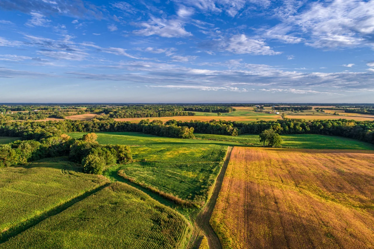
The buildings and sites we survey in Chipping Ongar
The High Street is a layered street: sixteenth and seventeenth century timber-framed and plastered buildings, Georgian brick frontages, and Victorian commercial and residential infill, with listed buildings lining the street itself and many more listed buildings and structures across the conservation area. Roofs are hand-made clay peg tile, plain tile and slate, frequently with hidden valleys, parapet gutters and party-wall junctions running the length of a terrace. St Martin of Tours church and the late eleventh-century motte and bailey earthwork sit immediately behind. Away from the centre the stock is ordinary — twentieth-century semis, bungalows, modern infill — plus farm buildings out toward High Ongar and Stanford Rivers.

What we get asked for in Chipping Ongar
Surveys we fly in Chipping Ongar
Every survey is scoped to your project before we fly — you receive the outputs that are actually useful to you, and a clear, no-obligation quote first.




Drone surveys in Chipping Ongar — frequently asked questions
Do I need consent to have a listed building in Ongar surveyed by drone?
Listed building consent controls physical alteration, not photography, so a survey that never touches the building does not need it — which is much of the appeal. No scaffold ties into old brick, no ladders leaning on lime render or soft tile. What we do need is a lawful place to take off and land, permission from whoever controls it, and enough separation from people who are not part of the survey. We confirm all of that before the visit.
The High Street is narrow and busy. Where would you launch from?
We assess a suitable take-off and landing position for the property in Chipping Ongar, with the relevant landowner or site manager's agreement. Permission to use the ground does not by itself authorise a flight. We review access, people and activity nearby, current airspace information and the operating limits that apply to the proposed work. Any required permissions must be obtained, and suitable weather is needed on the day. We confirm feasibility and the scope we can capture before booking; if the flight cannot be carried out safely and lawfully, we discuss an alternative or decline the work.
Can you survey a whole terrace in one visit?
Yes, and it is normally more efficient per property than doing them one at a time. We fly the run as a single sortie, capture each roof slope and the shared junctions, then split the imagery and the report by address. That is particularly useful on Ongar's High Street, where a failed valley or blocked parapet gutter on one building often shows up as damp two doors along.
How close are you to Ongar?
We assess each Chipping Ongar site individually before confirming a drone survey. We review access, people and activity nearby, current airspace information and the operating limits that apply to the proposed work. Any required permissions must be obtained, and suitable weather is needed on the day. We confirm feasibility and the scope we can capture before booking; if the flight cannot be carried out safely and lawfully, we discuss an alternative or decline the work.
We also cover, near Chipping Ongar
Based in North Weald, Epping and covering London, Essex, Hertfordshire, Kent and the wider South East. If your site is not listed, check we cover it →
