

Local drone surveys in Mayfair, planned around the site and the airspace.
Mayfair is mostly a commercial survey market, and the brief usually starts on the roof. Behind the frontages of Grosvenor Square, Mount Street and Brook Street sit buildings that have been converted, re-converted and extended for a century, and the flat roofs above them are crowded with condenser plant, riser terminations, lift overruns and screening that nobody has photographed properly since it was installed. Managing agents on the Grosvenor Estate, the Bond Street and Savile Row retail landlords, and the Park Lane hotels all want the same thing — a current, measurable record of roof coverings, plant layout and elevation condition, gathered without a cherry picker parked in a street that cannot spare a lane for a week.
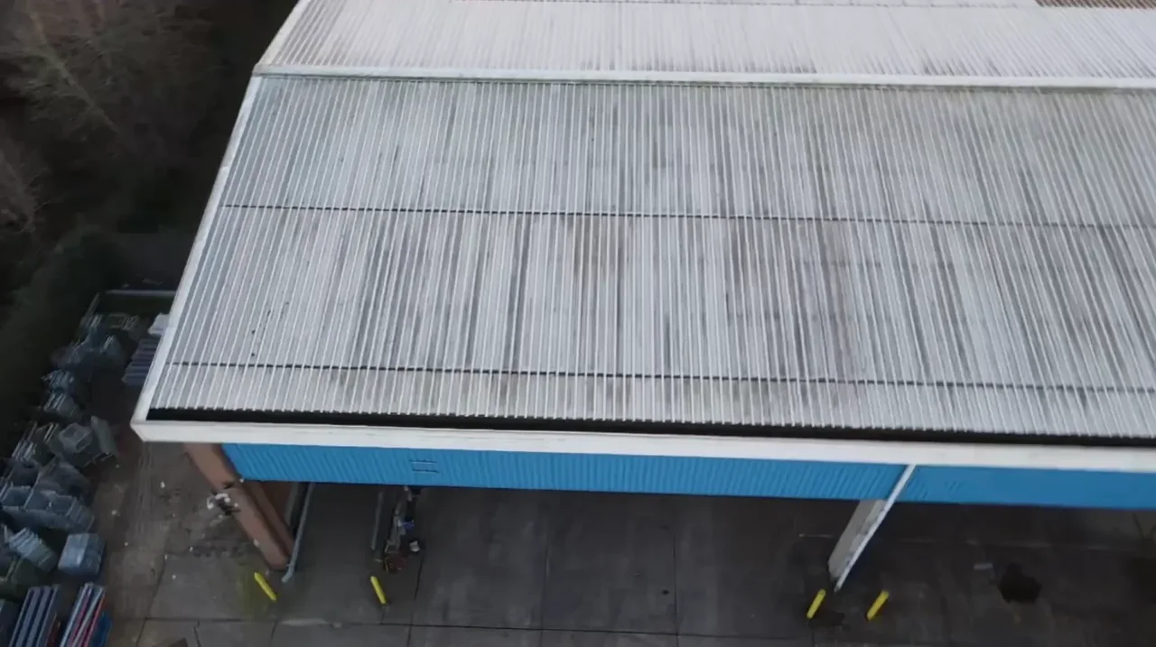
The buildings and sites we survey in Mayfair
The grain shifts street by street. Shepherd Market keeps genuinely small eighteenth-century buildings with steep tiled roofs and tight courts. Mount Street and Carlos Place are the late-Victorian Grosvenor rebuild — red brick with terracotta dressings and tall gabled frontages. Grosvenor Square and Park Lane are largely twentieth-century replacement blocks in stone and brick, several of them now hotels. Above all of it sit mansard extensions, lead and single-ply flat roofs and dense rooftop plant. Terracotta dressings crack and delaminate, mansard lead splits at abutments, and plant decks trap standing water.

What we get asked for in Mayfair
Surveys we fly in Mayfair
Every survey is scoped to your project before we fly — you receive the outputs that are actually useful to you, and a clear, no-obligation quote first.




Drone surveys in Mayfair — frequently asked questions
Can you record rooftop plant without a cherry picker or a road closure?
Yes, and that is normally the reason we are called into W1. A professional survey-grade drone captures the whole roof plane, plant layout and screening in one pass, with our operator on the ground and nothing occupying the carriageway. For a single building it is usually one short visit. Outputs can include high-resolution imagery, a written report and a 3D model or point cloud of the roof, scoped at the briefing.
Do you need permission to fly near Park Lane and Hyde Park?
For a site in or beside managed open space in Mayfair, we check the relevant access rules and restrictions as well as the airspace. We do not assume that a park, forest or reserve is available for drone operations. We review access, people and activity nearby, current airspace information and the operating limits that apply to the proposed work. Any required permissions must be obtained, and suitable weather is needed on the day. We confirm feasibility and the scope we can capture before booking; if the flight cannot be carried out safely and lawfully, we discuss an alternative or decline the work.
Can we take off from our own roof terrace or courtyard rather than the street?
We assess a suitable take-off and landing position for the property in Mayfair, with the relevant landowner or site manager's agreement. Permission to use the ground does not by itself authorise a flight. We review access, people and activity nearby, current airspace information and the operating limits that apply to the proposed work. Any required permissions must be obtained, and suitable weather is needed on the day. We confirm feasibility and the scope we can capture before booking; if the flight cannot be carried out safely and lawfully, we discuss an alternative or decline the work.
What do we get back, and how long does it take?
Deliverables are scoped to the job — high-resolution imagery, video, a written condition report, annotated defect mapping and a 3D model or point cloud where the job calls for it. Imagery, video and the report usually follow within a few days of the shoot. There is no fixed price list; we quote each survey on scope once we know the building, the outputs you need and any permissions involved.
We also cover, near Mayfair
Based in North Weald, Epping and covering London, Essex, Hertfordshire, Kent and the wider South East. If your site is not listed, check we cover it →
