

Local drone surveys in Rainham, planned around the site and the airspace.
Rainham is the industrial end of Havering, and the survey work reflects it. The A13 runs across the top of the town and the ground between it and the Thames is solid warehousing — Ferry Lane, Easter Industrial Park, Fairview Industrial Park, the aggregates wharves along the river. These are large-format steel portal buildings with profiled metal or older cement-sheet roofs, box gutters and long runs of rooflight, and most of them cannot be walked safely even by someone with a harness. That is the single strongest argument for aerial capture anywhere in our patch. South of the estates lie the RSPB's Rainham Marshes, and north-west of them sits a small Georgian village core around Rainham Hall that has almost nothing in common with the rest of the town.
The buildings and sites we survey in Rainham
Rainham has three distinct building stocks in a very small area. The conservation area around the Broadway is the historic village: former Georgian cottages converted to shopfronts in the twentieth century, the National Trust's Rainham Hall of 1729, and the Norman church of St Helen and St Giles. South and east of the A13 are the industrial estates — steel portal-frame warehouses and light industrial units with profiled metal or ageing cement-sheet roofs, box gutters and translucent rooflight panels that are the classic fragile-roof hazard. The residential belt in between is interwar and post-war estate housing extending into South Hornchurch, plus newer housing blocks toward the western riverside edge.

What we get asked for in Rainham
Surveys we fly in Rainham
Every survey is scoped to your project before we fly — you receive the outputs that are actually useful to you, and a clear, no-obligation quote first.




Drone surveys in Rainham — frequently asked questions
Our warehouse roof is old cement sheet and nobody will walk it — can you survey it?
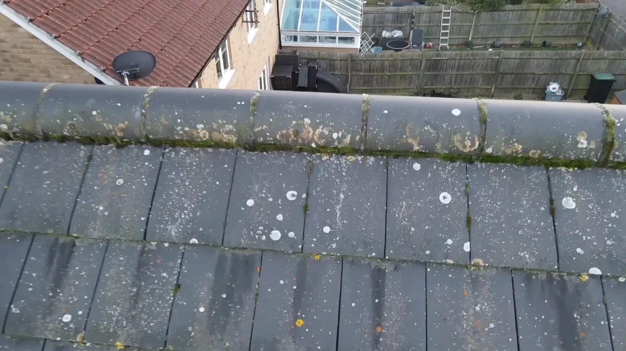
This is the job drone survey is best at. Fragile cement-sheet and profiled metal roofs across the Ferry Lane estates carry real fall-through risk, and the usual answer is a mobile tower, a harness system or a roof survey that never happens. We capture the whole roof plane, the box gutters and the rooflight runs from the air with nobody working at height, and return high-resolution imagery plus a written condition report.
How close can you fly to Rainham Marshes?
For a site in or beside managed open space in Rainham, we check the relevant access rules and restrictions as well as the airspace. We do not assume that a park, forest or reserve is available for drone operations. We review access, people and activity nearby, current airspace information and the operating limits that apply to the proposed work. Any required permissions must be obtained, and suitable weather is needed on the day. We confirm feasibility and the scope we can capture before booking; if the flight cannot be carried out safely and lawfully, we discuss an alternative or decline the work.
Are we too close to London City Airport to fly in Rainham?
The answer depends on the exact address in Rainham, the current airspace restrictions and the proposed flight. Proximity to an airport or a place name alone does not establish whether a flight is possible. We review access, people and activity nearby, current airspace information and the operating limits that apply to the proposed work. Any required permissions must be obtained, and suitable weather is needed on the day. We confirm feasibility and the scope we can capture before booking; if the flight cannot be carried out safely and lawfully, we discuss an alternative or decline the work.
How far is Rainham from your base, and can you work around shift patterns?
Rainham is about sixteen miles by road from North Weald, a straightforward run down through Romford. On industrial sites the timing usually matters more than the distance: a yard full of HGVs and staff means we need separation from uninvolved people, so an early start or a quieter period is often easier than a mid-shift visit. We agree that with your site manager when the survey is booked.
We also cover, near Rainham
Based in North Weald, Epping and covering London, Essex, Hertfordshire, Kent and the wider South East. If your site is not listed, check we cover it →
