

Local drone surveys in Hammersmith, planned around the site and the airspace.
Hammersmith packs four building types into about a square mile, which is why the surveys we run here vary so much. Along Upper and Lower Mall and Hammersmith Terrace there is genuine eighteenth-century riverfront, listed and fragile. St Peter's Square is white stucco on a formal grid. Brackenbury Village is a tight Victorian terrace layout inside the Bradmore conservation area. And then the Broadway is commercial: offices, the flyover, the bus station and a roofscape of plant, membrane and parapet detail that nobody sees from the street. Hammersmith Bridge sits under all of it — Grade II* listed, shut to motor traffic since 2019, and in July 2026 the council formally accepted it will not reopen to cars.
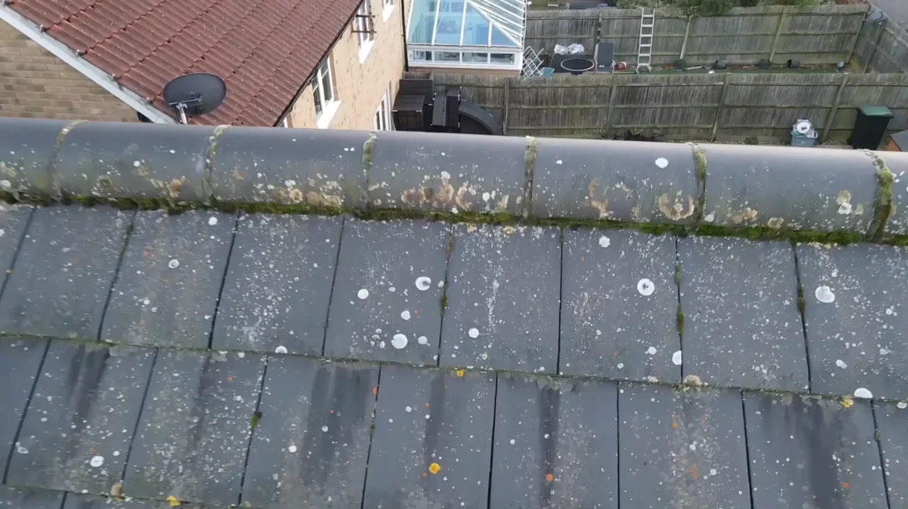
The buildings and sites we survey in Hammersmith
W6 stock ranges from Georgian riverfront houses on Hammersmith Terrace and the Mall, through the stucco-fronted formality of St Peter's Square — itself on the Register of Parks and Gardens at Grade II — to the Victorian terraces and cottages of Brackenbury Village and the roads around Ravenscourt Park. Hammersmith and Fulham has forty-five conservation areas, including Brackenbury, Ravenscourt, Hammersmith Mall, Hammersmith Grove and St Peter's Square. W14 towards West Kensington adds larger stucco and red-brick mansion blocks. Roofs are slate and clay tile on the period stock, with flat roofs, asphalt and single-ply membrane dominating the office and retail estate around the Broadway and King Street.

What we get asked for in Hammersmith
Surveys we fly in Hammersmith
Every survey is scoped to your project before we fly — you receive the outputs that are actually useful to you, and a clear, no-obligation quote first.




Drone surveys in Hammersmith — frequently asked questions
Does the Hammersmith Bridge closure affect getting a survey done?
Only on the ground. The bridge has been shut to motor traffic since 2019 and in July 2026 Hammersmith and Fulham formally accepted it will not reopen to cars, so cross-river journeys between W6 and Barnes go via Chiswick or Putney bridges. That matters for our arrival time, not the flight. We build the diversion into the booking so the slot we give you is the slot we turn up in.
Can you survey a tall building around Hammersmith Broadway?
Yes, within the rules. The general height limit is 120m above the closest point of the surface. There is a specific exception allowing flight up to 15m above a structure taller than 105m, and within 50m of it, where the organisation responsible for that structure has asked for the work — so instruction from the building's owner or managing agent is part of the job, not an afterthought. We confirm that, and that the work sits within our authorisation and insurance, before quoting.
Is Hammersmith inside the Heathrow restriction zone?
The answer depends on the exact address in Hammersmith, the current airspace restrictions and the proposed flight. Proximity to an airport or a place name alone does not establish whether a flight is possible. We review access, people and activity nearby, current airspace information and the operating limits that apply to the proposed work. Any required permissions must be obtained, and suitable weather is needed on the day. We confirm feasibility and the scope we can capture before booking; if the flight cannot be carried out safely and lawfully, we discuss an alternative or decline the work.
How do you handle a listed riverside property?
Carefully, and with nothing touching the building. On Hammersmith Terrace and the Mall the whole point of an aerial survey is that no ladder, no scaffold tie and no anchor goes anywhere near historic fabric. We capture each elevation and the roof squarely and consistently, add close-ups on the details your architect or conservation officer will ask about, and deliver a plain-English report alongside the imagery.
We also cover, near Hammersmith
Based in North Weald, Epping and covering London, Essex, Hertfordshire, Kent and the wider South East. If your site is not listed, check we cover it →
