

Local drone surveys in Barnes, planned around the site and the airspace.
Barnes sits inside a loop of the Thames with Barnes Common and Barn Elms filling much of what is left, which makes it the one place in this part of London where we do as much land and open-ground work as roofs. The Wetland Centre occupies the old Barn Elms reservoirs; the playing fields, the common and the towpath edge all get surveyed for habitat, drainage, tree cover or event layout rather than for defects. The buildings are their own category: Georgian riverfront on The Terrace dating from around 1720, 1830s to 1850s stucco villas up Castelnau, and large Victorian and Edwardian houses along Lonsdale Road. And with Hammersmith Bridge still shut to motor traffic, getting anything heavy into SW13 is a genuine consideration.
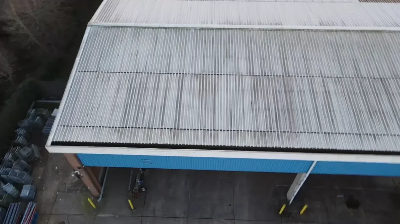
The buildings and sites we survey in Barnes
SW13 runs from eighteenth-century riverside houses on The Terrace — among the oldest in London — through the twenty pairs of classical stucco villas that form the earliest development along Castelnau, to substantial Victorian houses on Lonsdale Road and interwar stock towards Barnes Common. Three Richmond upon Thames conservation areas cover most of it: Barnes Green, designated in 1969 and taking in the riverfront, the pond and the village core, plus Castelnau and Barnes Common. Roofs are slate and clay tile with lead flashings and parapet gutters on the older stock; the Castelnau villas add stucco elevations and shallow hipped roofs behind low parapets.

What we get asked for in Barnes
Surveys we fly in Barnes
Every survey is scoped to your project before we fly — you receive the outputs that are actually useful to you, and a clear, no-obligation quote first.




Drone surveys in Barnes — frequently asked questions
Can you survey Barnes Common or the playing fields?
The airspace side is straightforward — open ground is much easier to work over than a terraced street. The land side is not automatic. Barnes Common and Barn Elms are managed land, and permission to take off, land and operate has to come from whoever controls the ground before we book anything. We will tell you who that is for your specific site and what the realistic route to permission looks like, rather than turning up and hoping.
Does Hammersmith Bridge being closed cause a problem?
For us it is a driving question, not a flying one. The bridge has been shut to motor traffic since 2019 and Hammersmith and Fulham confirmed in July 2026 that it will not reopen to cars, so we come into SW13 via Chiswick or Putney bridges and allow for it in the schedule. If anything it strengthens the case for aerial survey in Barnes: no scaffold lorry, no cherry picker, no crew vehicles across a closed crossing.
The Wetland Centre is next door — will that affect a flight near it?
It is worth flagging early. The Wetland Centre is private land with a working conservation purpose, so we would not overfly it as part of a domestic survey, and for any job on that side of Barnes we plan the flight path to keep the aircraft over your property. Wildlife disturbance is a genuine consideration on this side of the river, not a box-ticking one, and we plan around nesting season where it matters.
How far is Barnes from your base and how quickly can you get out?
We are based at North Weald near Epping, so Barnes is a cross-London run of roughly 31 miles by road via the M11 and the A406, then across at Chiswick. It is routine coverage for us alongside Putney, Hammersmith and Fulham. Availability rather than distance drives how soon we can attend, and imagery and the written report normally follow within a few days of the visit.
We also cover, near Barnes
Based in North Weald, Epping and covering London, Essex, Hertfordshire, Kent and the wider South East. If your site is not listed, check we cover it →
