

Local drone surveys in Chelsea, planned around the site and the airspace.
Chelsea packs the full range into about a square mile: early-eighteenth-century houses on Cheyne Walk, the Cadogan Estate's red-brick Victorian terraces around Cadogan Square and Sloane Street, the World's End towers at the far end of the King's Road, and the Chelsea Waterfront scheme in and around the old Lots Road power station. Riverside exposure is what sets the survey brief apart here — the Embankment and Chelsea Creek frontages take weather straight off the Thames, and driven rain and salt-laden air show up first in parapets, rainwater goods and high-level mortar. Almost none of that is reachable from a ladder, and a Cheyne Walk pavement will not take a scaffold without a fight.
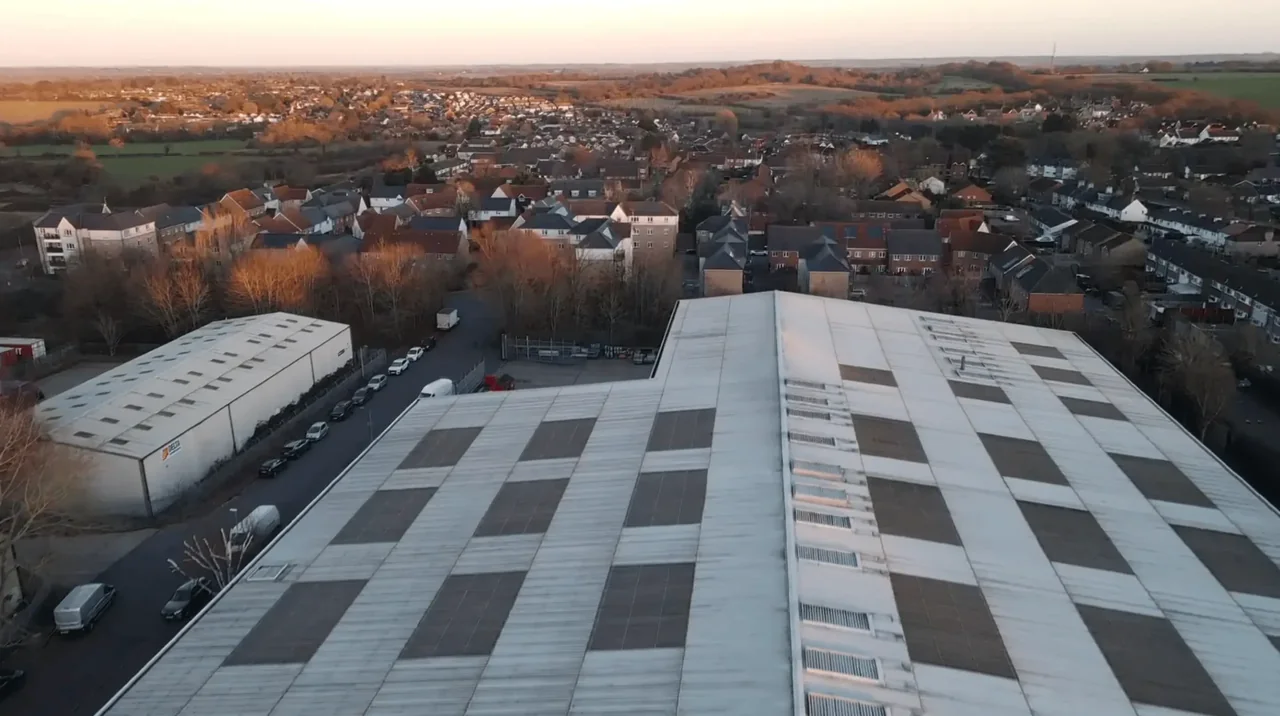
The buildings and sites we survey in Chelsea
Three distinct stocks sit side by side. Cheyne Walk and the ground around Chelsea Old Church keep genuine early-Georgian and Queen Anne houses with steep tiled roofs and brick parapets. The Cadogan Estate around Cadogan Square, Pont Street and Sloane Street is 1880s Pont Street Dutch — red brick with terracotta dressings, tall gables and elaborate chimney stacks. The western King's Road brings the World's End Estate, a late-1960s and 1970s scheme in dark brown brick with flat roofs and exposed walkways, and the Lots Road riverside is now Chelsea Waterfront. Failures cluster in lead flashing at gable abutments, decaying terracotta dressings, and flat-roof upstands on the post-war blocks.

What we get asked for in Chelsea
Surveys we fly in Chelsea
Every survey is scoped to your project before we fly — you receive the outputs that are actually useful to you, and a clear, no-obligation quote first.




Drone surveys in Chelsea — frequently asked questions
Is Chelsea inside a drone restriction zone?
The answer depends on the exact address in Chelsea, the current airspace restrictions and the proposed flight. Proximity to an airport or a place name alone does not establish whether a flight is possible. We review access, people and activity nearby, current airspace information and the operating limits that apply to the proposed work. Any required permissions must be obtained, and suitable weather is needed on the day. We confirm feasibility and the scope we can capture before booking; if the flight cannot be carried out safely and lawfully, we discuss an alternative or decline the work.
Can you survey a roof on Cheyne Walk without closing the pavement?
Yes. There is no scaffold, no tower and no cherry picker, so the footway and the Embankment carriageway stay open. Our operator stays on the ground for the whole flight, which normally takes a single short visit. Where we can, we take off from a private forecourt or rear garden rather than the public pavement, which keeps uninvolved people further away and makes the whole thing quicker.
Do you only survey period houses, or can you cover estate blocks too?
Both. The World's End Estate and the other post-war blocks off the King's Road present a different job — large flat roof areas, upstands, walkway soffits and rooftop plant rather than slates and chimney stacks — but they suit aerial capture particularly well because the whole roof plane can be recorded in one pass. We scope the deliverables with the managing agent, typically imagery, annotated defect mapping and a written condition report.
How far is Chelsea from your base, and when do you prefer to fly?
We assess each Chelsea site individually before confirming a drone survey. We review access, people and activity nearby, current airspace information and the operating limits that apply to the proposed work. Any required permissions must be obtained, and suitable weather is needed on the day. We confirm feasibility and the scope we can capture before booking; if the flight cannot be carried out safely and lawfully, we discuss an alternative or decline the work.
We also cover, near Chelsea
Based in North Weald, Epping and covering London, Essex, Hertfordshire, Kent and the wider South East. If your site is not listed, check we cover it →
