

Local drone surveys in Roydon, planned around the site and the airspace.
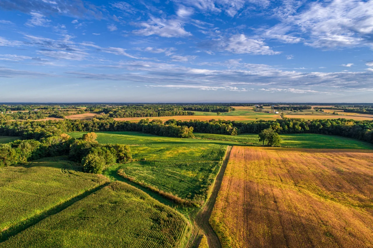
Roydon is a Stort valley village rather than a town, and that changes what gets surveyed. Its centre is a conservation area around the church and the high street, with a green, a Grade II listed village lock-up and stocks, and a run of timber-framed and thatched houses. Around it the land is open — paddocks, arable, the canalised Stort Navigation, Roydon Marina Village on the old mill site, and the ruins at Nether Hall. Almost every enquiry we take from here is one of two jobs: a period roof nobody wants to scaffold, or a parcel of land somebody needs mapped for boundaries, drainage, access or extent. Both are quick from the air. Our base at North Weald is about eight miles away by road.
The buildings and sites we survey in Roydon
The conservation area holds the oldest fabric: the Church of St Peter-ad-Vincula, the Grade II listed village lock-up and stocks on the green, and a high street with several very old timber-framed and thatched houses. Thatch, hand-made clay peg tile and slate all appear within a few hundred metres of each other, and none of them takes kindly to ladders or scaffold ties. Beyond the village core the stock loosens: interwar and post-war cottages along the Epping and Harlow roads, barn conversions, equestrian and smallholding buildings, and the lodges, moorings and restored mill buildings of Roydon Marina Village on the navigation.

What we get asked for in Roydon
Surveys we fly in Roydon
Every survey is scoped to your project before we fly — you receive the outputs that are actually useful to you, and a clear, no-obligation quote first.




Drone surveys in Roydon — frequently asked questions
Can you fly over a thatched or listed property in Roydon?
Aerial imagery can help record visible roof condition in Roydon without attaching equipment to the building. We review access, people and activity nearby, current airspace information and the operating limits that apply to the proposed work. Any required permissions must be obtained, and suitable weather is needed on the day. We confirm feasibility and the scope we can capture before booking; if the flight cannot be carried out safely and lawfully, we discuss an alternative or decline the work.
I need my land mapped rather than a building — can you do that?
That is most of our Roydon work. A drone land survey gives you high-resolution imagery of the whole parcel, an annotated site map and a stitched top-down orthomosaic suitable for measuring approximate area and extent. If you need engineering-grade contours, levels and spot heights instead, that is a drone topographic survey, which we quote separately.
Do you need permission from anyone to fly in Roydon?
We assess each Roydon site individually before confirming a drone survey. We review access, people and activity nearby, current airspace information and the operating limits that apply to the proposed work. Any required permissions must be obtained, and suitable weather is needed on the day. We confirm feasibility and the scope we can capture before booking; if the flight cannot be carried out safely and lawfully, we discuss an alternative or decline the work.
How quickly can you get to Roydon?
We are based at North Weald, Epping, about eight miles away by road, so Roydon is a short run and we can normally offer a visit within a few days. The survey itself is usually a single short visit with the operator safely on the ground. Imagery, video and the written report typically follow within a few days of the flight.
We also cover, near Roydon
Based in North Weald, Epping and covering London, Essex, Hertfordshire, Kent and the wider South East. If your site is not listed, check we cover it →
