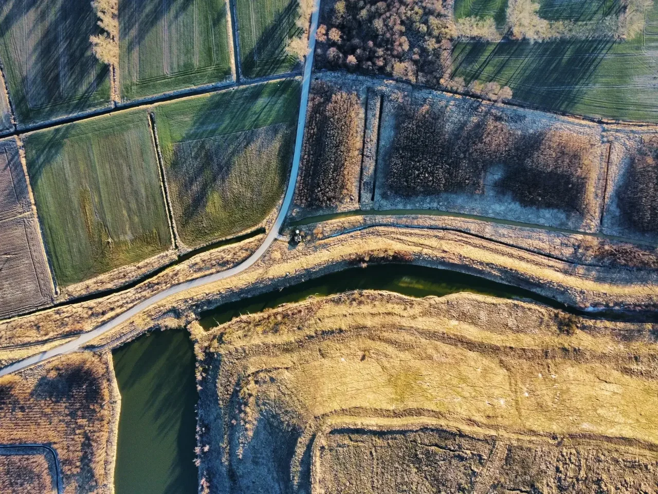
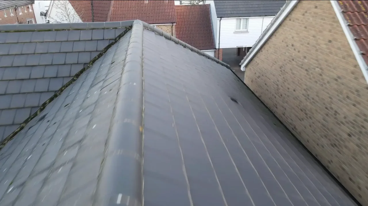
Local drone surveys in Clapham, planned around the site and the airspace.
Clapham's difficulty is that the good stuff is old and the streets are narrow. Around the Old Town there are Georgian and early-Victorian houses fronting directly onto pavement, with rear elevations and roofs that are effectively unreachable without scaffolding a garden. Abbeville Village is Edwardian terrace, tightly packed, where the party-wall gutters and rear additions cause most of the trouble. The 1930s mansion blocks ringing Clapham Common Northside and Southside are a different job again: large flat and shallow-pitched roofs, communal, and usually surveyed for a managing agent rather than an owner. Add the Notre Dame Estate conservation area and Clapham Park's ongoing regeneration and you have most of what we get called out for.
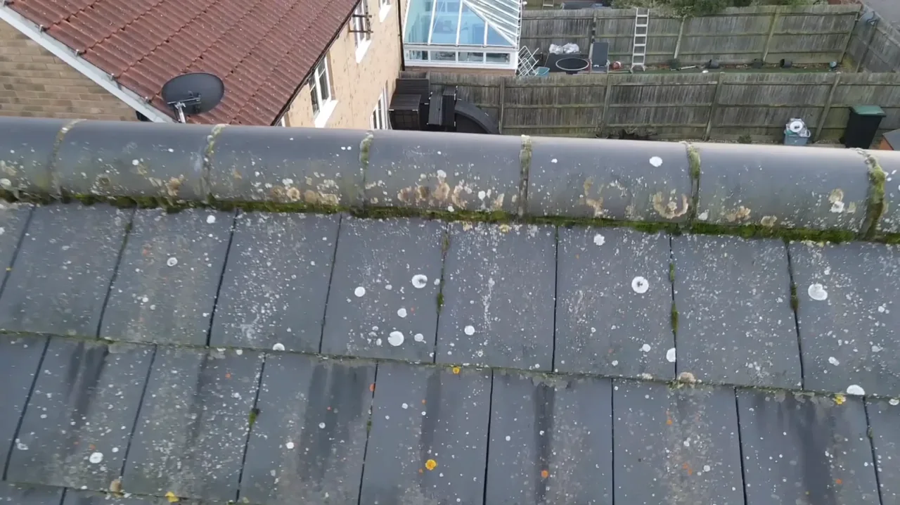
The buildings and sites we survey in Clapham
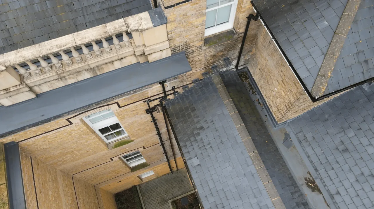
SW4 is Georgian and early-Victorian around Clapham Old Town and the north side of the Common, Victorian and Edwardian terrace and villa stock through Abbeville Village and the roads off Clapham Park Road, and interwar mansion blocks along Common Northside and Southside. Conservation areas include Clapham Common, Old Town and the post-war Notre Dame Estate. Clapham Park, to the south-east, is a long-running regeneration area mixing retained interwar blocks with new build. Roofs are London slate and clay tile on the period stock, with asphalt and felt on the mansion blocks and flat-roofed rear additions — the latter being where most of the water gets in.
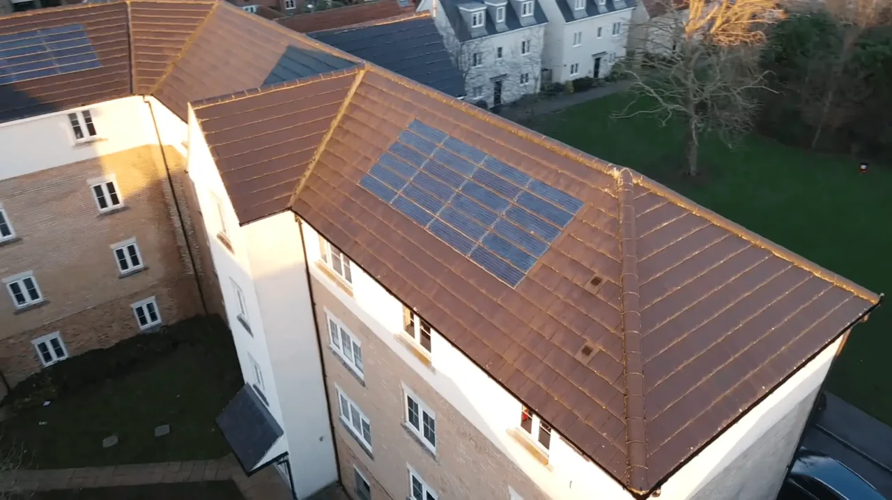
What we get asked for in Clapham
Surveys we fly in Clapham
Every survey is scoped to your project before we fly — you receive the outputs that are actually useful to you, and a clear, no-obligation quote first.
Drone surveys in Clapham — frequently asked questions
Is Clapham inside a drone restriction zone?
The answer depends on the exact address in Clapham, the current airspace restrictions and the proposed flight. Proximity to an airport or a place name alone does not establish whether a flight is possible. We review access, people and activity nearby, current airspace information and the operating limits that apply to the proposed work. Any required permissions must be obtained, and suitable weather is needed on the day. We confirm feasibility and the scope we can capture before booking; if the flight cannot be carried out safely and lawfully, we discuss an alternative or decline the work.
My Clapham terrace has no rear access — can you still survey the back roof?
Usually yes, and that is one of the main reasons people in SW4 call us. If we can launch from your own front garden, driveway or a flat roof with permission, the aircraft can get above and behind the building without anyone crossing a neighbour's land. If the only viable launch point is on someone else's property we ask you to arrange consent first, and we say so before you commit to anything.
We're a managing agent for a block on the Common — what do we actually get?
For a block we normally cover the whole envelope in one visit: full roof coverage, each elevation, close-ups of anything defective, and a written report in plain English. That gives every leaseholder the same evidence base for a consultation, and gives your contractor something to price against. We are clear at the briefing stage about what the survey will and will not show, and no figure gets committed until the scope is agreed.
How long does a Clapham survey take, and how disruptive is it?
A single house is normally a short visit, well under an hour of flying, with the operator on the ground and no scaffolding, ladders or working at height. A whole mansion block takes longer but still one visit. There is no parking suspension and no site set-up. Imagery, video and the report usually follow within a few days, depending on what we agreed at the briefing.
We also cover, near Clapham
Based in North Weald, Epping and covering London, Essex, Hertfordshire, Kent and the wider South East. If your site is not listed, check we cover it →